Christchurch is heading into a classic spring switch this week, with mild conditions early before a late-week southerly change pulls temperatures down sharply.
WeatherWatch says a warm to hot nor'wester continues across much of the country on Sunday, Monday and Tuesday before a southerly arrives in the south over Wednesday and Thursday. Some South Island areas are expected to lose more than 12 to 14 degrees from daytime maximums for a time.
For Christchurch, the local forecast points to a warm Tuesday before the change becomes more obvious. WeatherWatch's city forecast shows rain and wind on Thursday, then a colder Friday with showers and a daytime high in single digits.
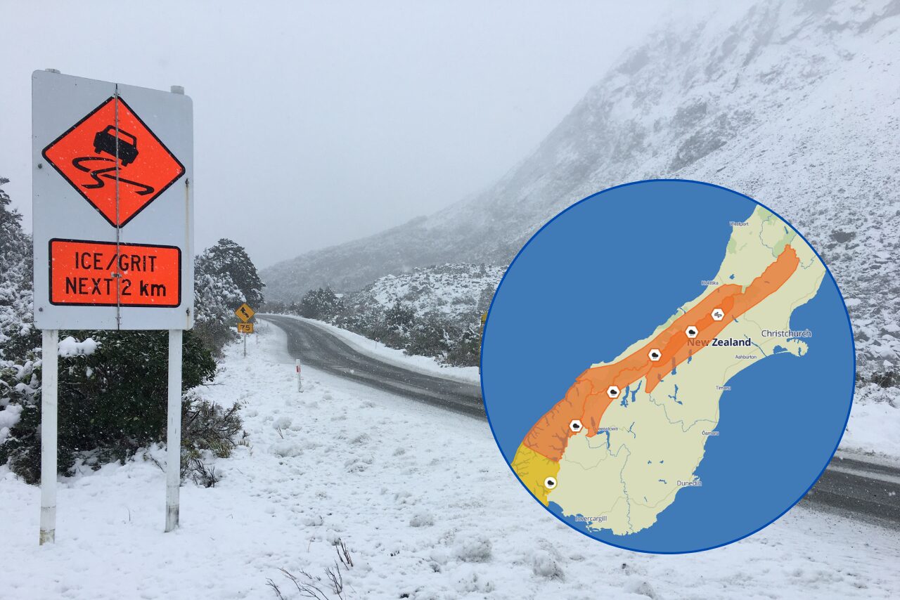
Canterbury Weather Updates is also flagging a cold and wet late-week pattern, with snow possible to low levels and road snowfall warnings in place for alpine passes.
The practical message is to enjoy the warmer start but plan for a very different finish. Gardeners, high-country travellers, sports organisers and anyone relying on outdoor work should check the latest forecast before committing to late-week plans.
The change is not unusual for October, but the contrast will still be felt. A mild, bright start to the week can quickly turn into a reminder that Canterbury spring often moves in hard edges rather than gentle steps.