Canterbury drivers are being told to plan ahead for a cold, snowy start to next week, with alpine routes facing a new round of road snowfall risk just as Christchurch hosts a major rugby weekend and school holiday travel begins.
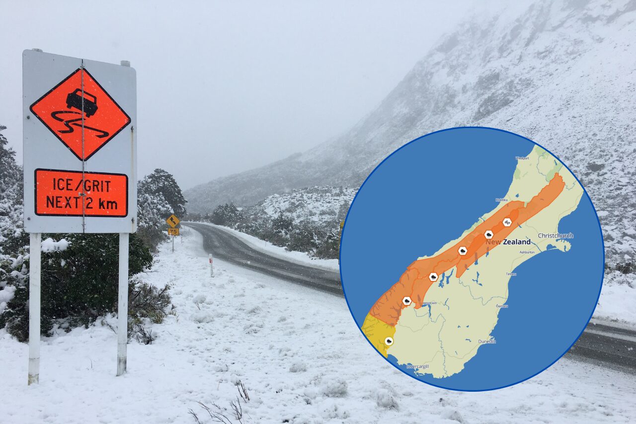
Chris Lynch Media reported on 3 July that forecasts supplied to the New Zealand Transport Agency show up to 20 centimetres of snow could fall around Porters Pass on State Highway 73 and Lewis Pass on State Highway 7 on Monday. The report also said more than 10 centimetres of snow is possible between Burkes Pass and Lake Tekapo in the Mackenzie Basin on Tuesday.
This is not the same situation as the late-June Porters Pass alert already covered by The Garden City Gazette. That earlier story dealt with a specific 24 to 25 June warning. The current update is a fresh 3 July forecast, with a wider set of Canterbury alpine routes, heavier early-week travel implications and a direct connection to people leaving Christchurch after the All Blacks-France Test or heading away for the school holidays.
Canterbury Weather Updates also had an alpine road snowfall warning visible on 3 July, describing an extended cold and snowy period and saying warnings were in place for all passes. Some of its detailed timing sits behind membership access, but the public view reinforces the core message: this is a regional alpine road issue rather than a single-pass inconvenience.
For Christchurch residents, the highest-risk behaviour is treating the weather as a problem somewhere else. A dry or merely cold city evening can sit beside a very different environment at Porters Pass, Arthur's Pass, Lewis Pass, Burkes Pass or around Tekapo. Roads that look routine on a map can shift quickly when snow, sleet, surface flooding, ice and low visibility combine.
The timing matters. Saturday night's Test will bring visitors into Christchurch, and some will be driving across the South Island after the match or over the following days. School holidays also create more family travel, often with vehicles packed for longer trips and drivers under pressure to keep plans. NZTA's advice to check Journey Planner, allow extra time and carry enough fuel or battery range is practical, not decorative. Detours can be long, charging stops can be limited and a road that closes after departure can quickly turn a simple trip into a waiting game.
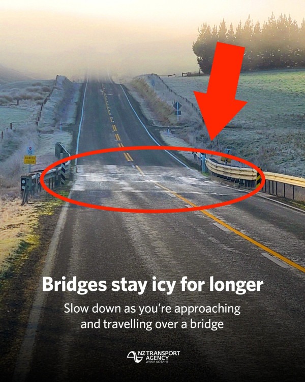
The risk is not only snow depth. Heavy rain can lift rivers and streams rapidly, create surface flooding and trigger slips, while strong winds can make exposed highways difficult. Ice after precipitation can be just as dangerous as fresh snow, especially early in the morning when drivers are tired or trying to beat traffic.
The best response is conservative planning. Check official highway conditions before leaving and again before committing to an alpine section. Carry warm clothing, food, water and phone power. Build in time for chains, closures or turnarounds. If a trip is optional, be ready to delay it. The forecast may shift, but the message for Canterbury is already clear: next week's high-country travel should be treated as winter travel, not ordinary weekend driving.