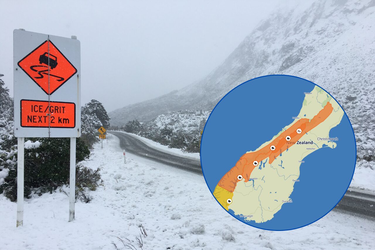
Canterbury moved into a high-alert weather footing on Monday after Environment Canterbury confirmed a region-wide flood warning and MetService issued a red heavy rain warning for the Kaikoura District and the Hurunui District north of Hanmer Springs.
The warning is the clearest public safety signal in the region today because it combines several risks at once: already falling rain, the likelihood of heavier falls overnight, high river and stream responses, and the possibility of out-of-river flooding if the forecast plays out. Environment Canterbury said its flood warning was last updated at 5.25pm on Monday, 6 July, and that rain was expected to intensify overnight Monday and remain heavy into early Wednesday morning.
The red warning area sits over northern Canterbury and the adjoining Marlborough weather zone, including places where steep catchments can react quickly. Reporting cited MetService as saying the warning covered the area between Ward and Hanmer and southeast of the Awatere Valley, including the Kaikoura ranges. The warning was in force from 4pm Monday until 3am Wednesday, with 250 to 350 millimetres expected and the possibility of totals reaching 400 millimetres.
The practical message for residents is not just that heavy rain is coming, but that the heaviest impacts may appear after dark and after several hours of accumulation. Environment Canterbury said the forecast rain was likely to affect all rivers and streams in the Kaikoura District. It also said waterways further south were being watched, including the Mason River and the Selwyn and Ashburton catchments.
Te Waihora / Lake Ellesmere is also part of the regional response. Environment Canterbury said earthmoving equipment had been deployed in preparation for opening the lake as soon as conditions allow. The council said the lake level was just below the opening level on Monday evening, but sea conditions were not suitable for an opening attempt at that time.
For households, farmers, contractors and holiday travellers, the risk is uneven. Some communities may see rain without immediate flooding, while others may face fast rises in smaller streams, blocked roads, surface water, slips or difficult access. That is why the agency is directing people to live rainfall and river-flow data rather than relying on a single district-wide summary.
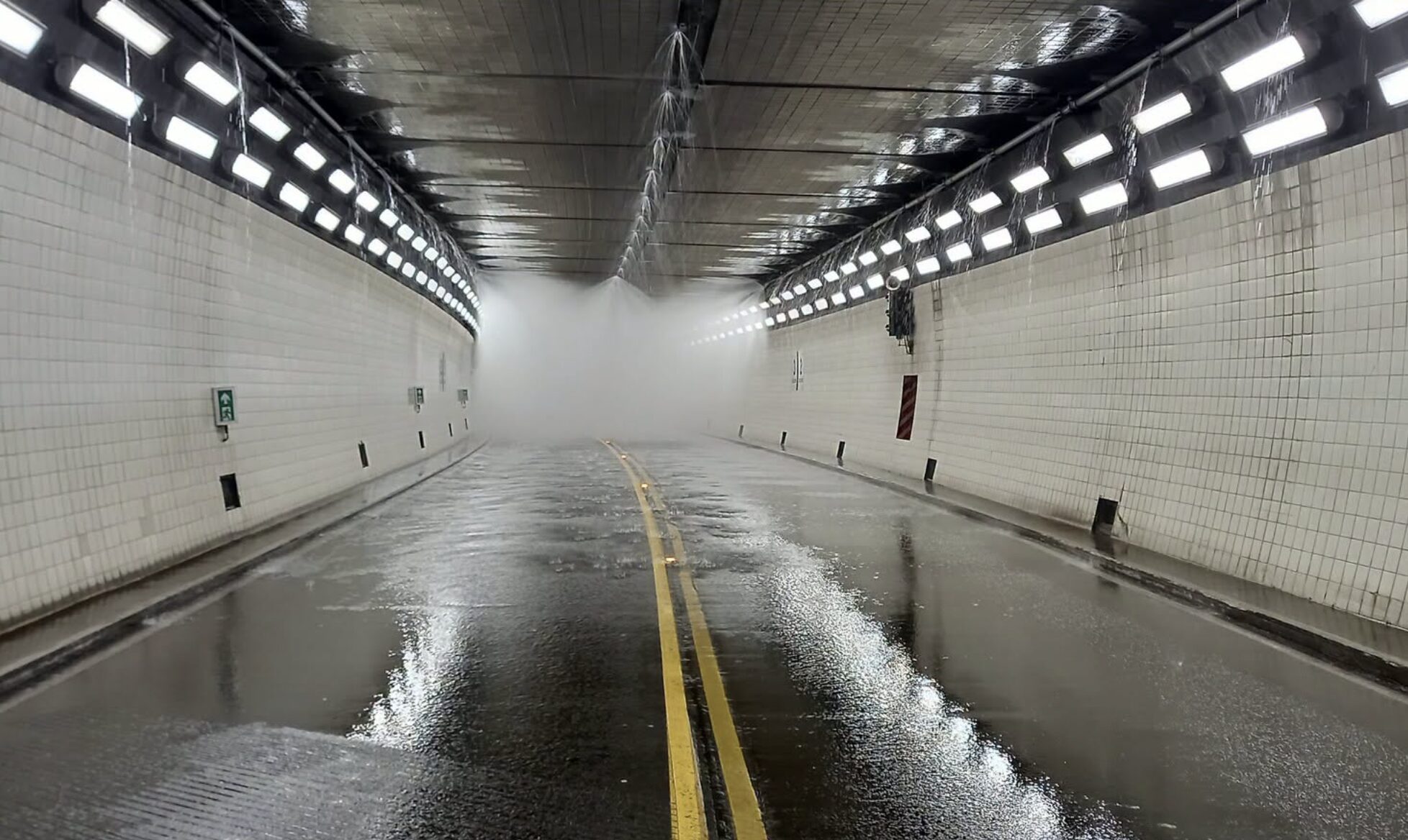
The warning also lands during school holiday travel and after a major winter weekend in Christchurch. Drivers heading north, inland or through rural roads should treat standing water as a genuine hazard, not a nuisance. If water covers a road and the depth is unclear, the safest decision is to turn around and find another route.
The next official update from Environment Canterbury was due by 9am Tuesday. Until then, the key facts are simple: the red warning is active, rain is expected to worsen overnight, all Kaikoura rivers and streams are in scope, and southern catchments are being monitored as the weather system develops.
This story should remain a straight public-safety update rather than a drama piece. The confirmed facts already carry enough weight: red warning, high totals, dangerous river conditions, potential slips, and official advice to avoid unnecessary exposure. The most useful local coverage is clear timing, clear geography and clear next steps for people who need to make decisions tonight.