Canterbury Weather Updates is pointing to a settled but cold end to June before a more complicated pattern develops next week, giving Christchurch and Canterbury residents a practical winter planning window. The forecaster's Tuesday overview says high pressure will bring fine and stable weather between Tuesday and Friday, with more north to north-westerly influence later in the week and a bump in temperatures for eastern areas.
The immediate forecast is calm enough, but not warm. CWU listed Tuesday daily highs around 11C for Christchurch, Rangiora, Lyttelton, Lincoln, Rolleston, Leeston, Kaiapoi, Pegasus and several other towns, with colder inland and high-country spots lower again. Its Christchurch town forecast for Tuesday described mostly fine conditions for the remainder of the day, sunny periods and areas of cloud near the Port Hills and Banks Peninsula, fresh north-easterly winds easing in the evening, then frosts and fog pockets developing at night under high pressure.
The general Canterbury outlook gives the clearest household message. Tuesday was forecast to bring morning frosts, severe about the basins, low cloud or fog pockets, bright and sunny conditions and light winds inland, with afternoon north-easterlies about the coast and plains. Wednesday is expected to carry more frost, fog and low cloud in places, especially during the morning and again in the evening near the coast, with light inland winds and afternoon north-easterly breezes.
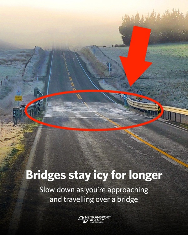
That is useful weather for people who can plan around it. Frost and fog affect school runs, early work starts, rural travel, cycling, footpaths and airport or road visibility. A clear, calm day can still be hazardous before the sun lifts road temperatures. Residents should expect icy starts in colder pockets, slower morning movement and a need to check local conditions rather than relying on a single city reading.
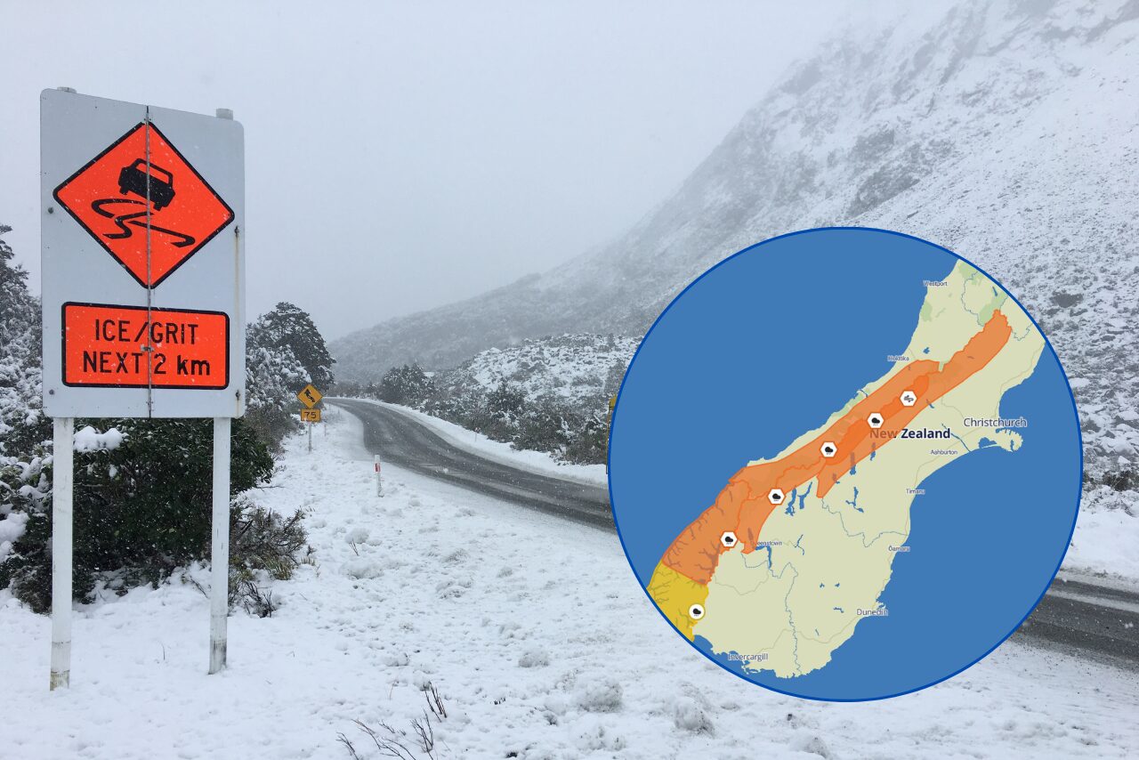
The later signal is the one to watch. CWU says colder southerlies may arrive during the early or middle stages of next week, with showers and hill snow, and that the weather could become complex from Sunday through next week with multiple fronts or systems and snow and rain potential. MetService's Canterbury high country page also had no mountain weather hazards issued for Tuesday, which underlines that the current settled period is not the same thing as a settled week ahead.
For The Garden City Gazette, the weather story is therefore a readiness note rather than a warning headline. The next few days offer a chance to prepare vehicles, heating, farm schedules, travel plans and high-country trips before the pattern turns more uncertain. If CWU heavy snow watches or warnings emerge later in the week, residents should treat them as updated information, not a surprise. Winter often gives Canterbury a quiet window before the next system arrives. This week appears to be one of those windows.
The safest approach is routine rather than alarm. Check road conditions before early rural trips, leave extra time for frosty starts, protect exposed plants and outdoor taps where needed, and keep an eye on high-country forecasts if travel, farming or contractor work depends on access. Canterbury's winter risk often builds from ordinary details, and the best preparation is usually done before a formal warning appears.