Kaikōura remains under a local state of emergency tonight after the Kōwhai River breached its banks, floodwater moved toward the township, and State Highway 1 was closed through a long section of the North Canterbury coast.
The most important confirmed fact for Canterbury readers is that this is no longer only a severe-weather forecast. It has become an active emergency involving evacuations, damaged roads, high rivers, power risk and a closure on the South Island's main east coast route. Kaikōura District Council's public alert said the district was in a state of emergency because of rain, with the Kōwhai River breaching at 10.26am and Takahanga Marae available for welfare and shelter for people who had to leave their homes.
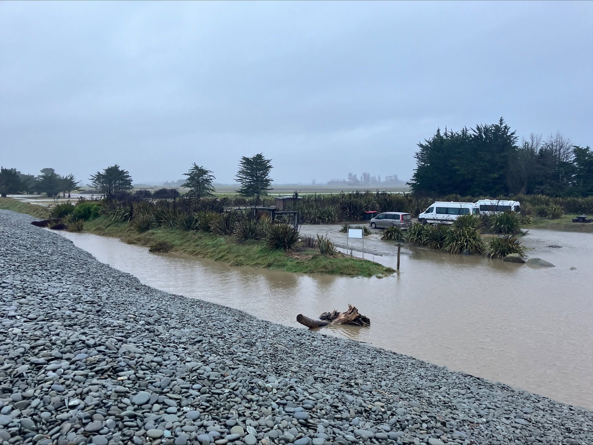
Environment Canterbury's 5.12pm flood warning said the highest-intensity falls in Kaikōura had eased, but rain was still falling and the forecast was for it to ease through the night. The regional council said breakouts from the Kōwhai River had occurred at Middle Ford, with floodwater travelling toward Kaikōura township. It also said the breakout flow had decreased during the day as rain eased, but surface flooding, gravel movement and damage to local infrastructure had been reported across parts of the district.
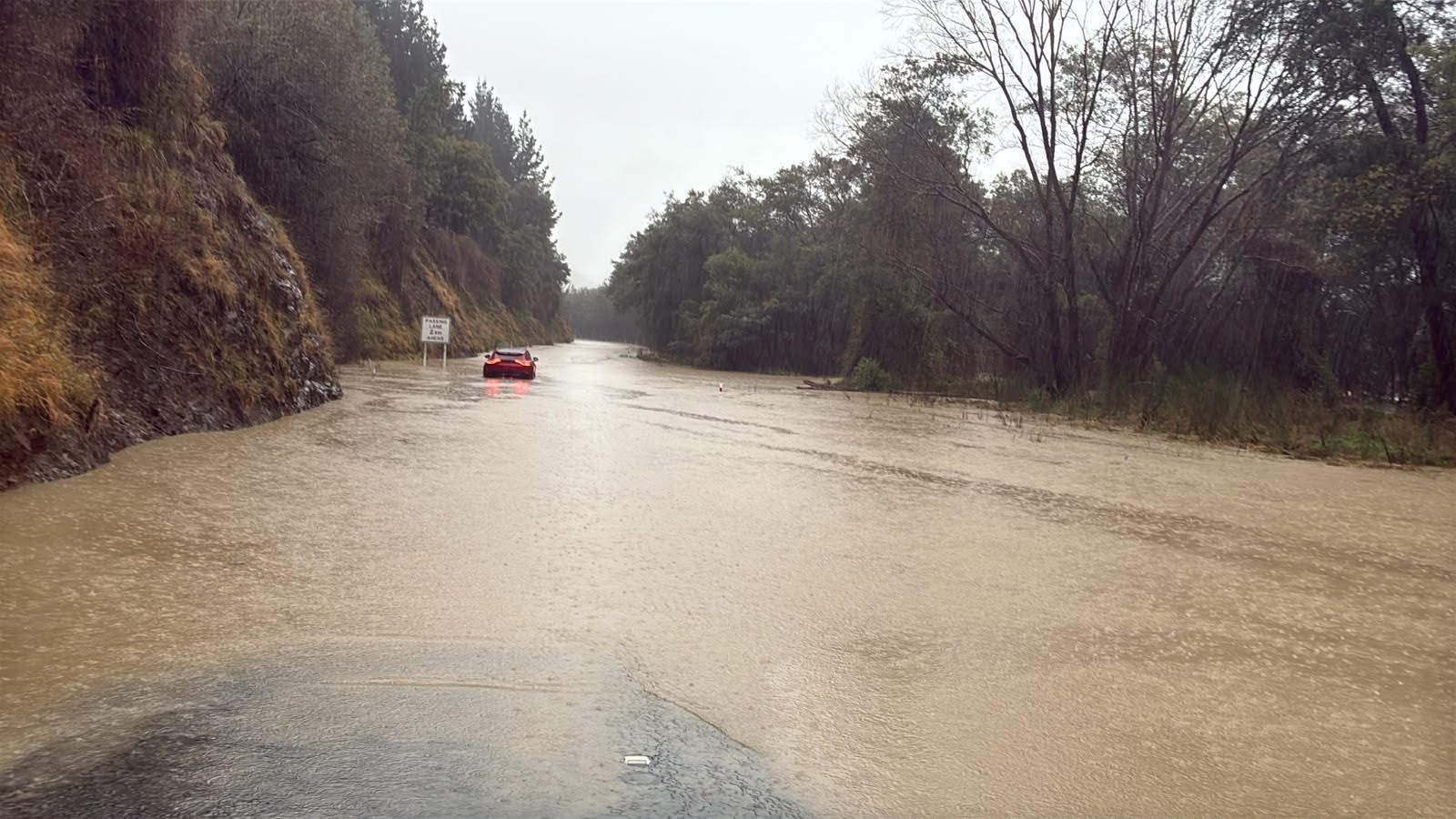
The transport effect is large. NZ Transport Agency Waka Kotahi said the closure of State Highway 1 in North Canterbury had been extended between Waipara and Ward and was expected to remain in place overnight, with reassessment in daylight. The agency said the Conway River flooding near Hawkswood, in an area known locally as Siberia, was affecting several kilometres of the route. It also warned that the inland detour via State Highways 7, 65 and 6 would add significantly to travel times.
That matters for more than holiday drivers. SH1 is a freight, visitor, emergency-response and local access route. When it closes for flooding north and south of Kaikōura, communities can become functionally separated even if there is an inland alternative on a map. The practical advice is therefore conservative: do not start a coastal trip assuming the road will reopen quickly, and do not treat the inland route as an ordinary delay if weather and daylight are deteriorating.
Kaikōura District Council's evening updates added a human edge to the official warnings. The council told people who had evacuated not to return home tonight and asked residents to stay safe, avoid floodwaters and obey road closures. It also reported that heavy rain was expected to continue into the evening and that significant flooding impacts remained across the district.
Power and water risks are part of the same emergency picture. MainPower was dealing with outages linked to the severe weather and washout damage at Cribb Creek Bridge, and some people in the district could be without power for days. That has practical consequences for households relying on phones, pumps, refrigeration, medical equipment and internet updates while roads are compromised.
The safer public message is simple and unglamorous. If officials tell residents to leave, leave. If a road is closed, do not drive it, even in a four-wheel-drive vehicle. If water covers a road, do not test it. In flood events, the danger is not only depth; it is current, damaged road surface, hidden debris and the speed at which conditions change.
This story updates yesterday's broader rain warning coverage. The region has moved from watching river and forecast data to managing actual community impacts in Kaikōura. The overnight test will be whether rain continues easing, how lower river reaches respond, and how quickly road, power and welfare teams can safely assess the damage on Wednesday morning.