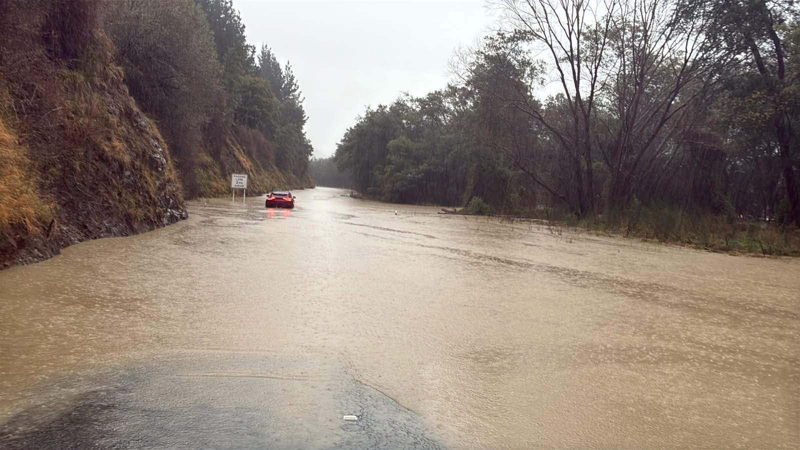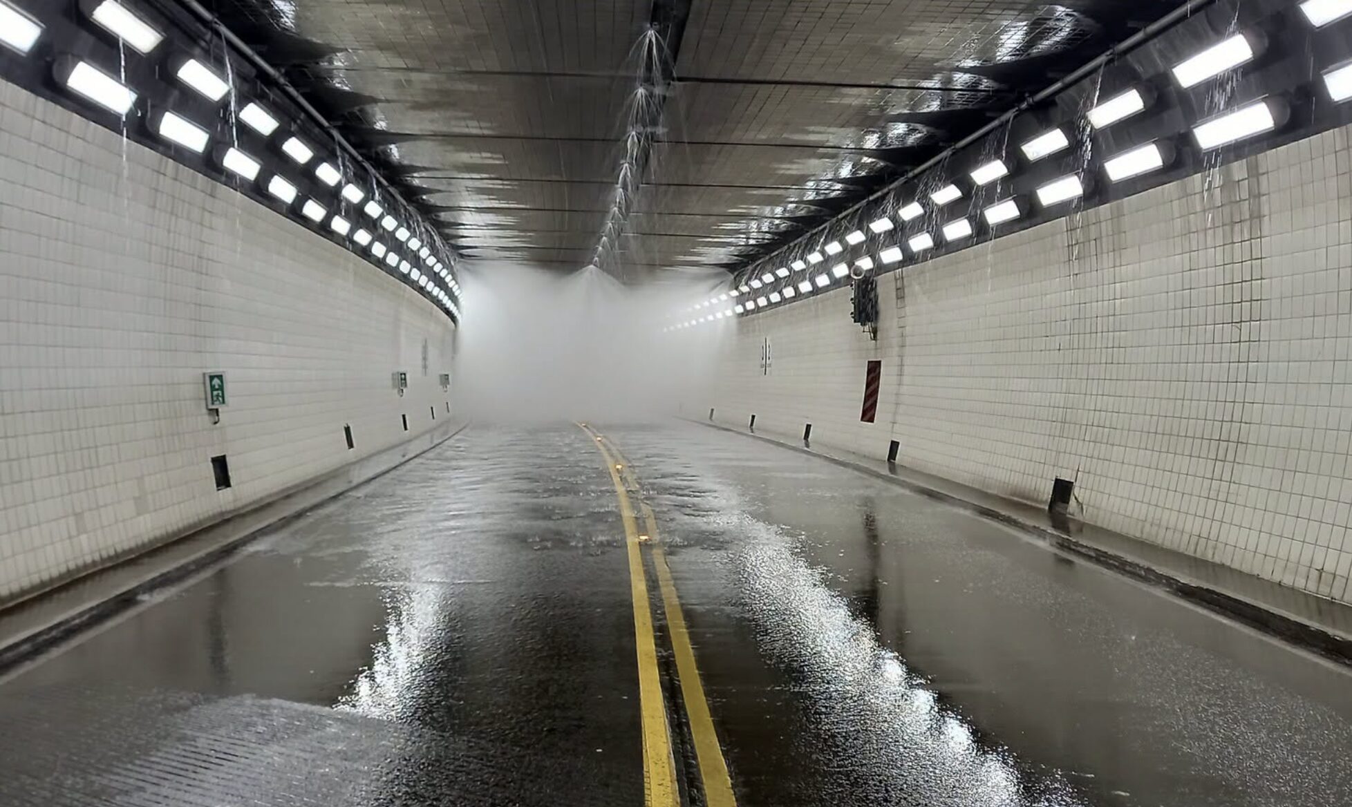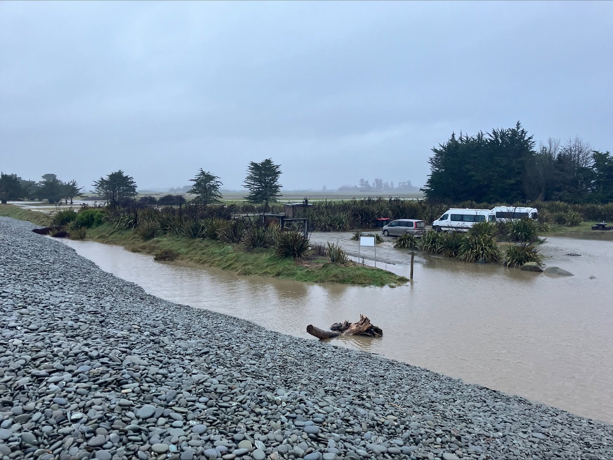
Environment Canterbury is watching river flows, lagoon levels and flood protection infrastructure across the region as the July weather system moves from forecast risk into an active rainfall event.
The regional council's flood warning, updated at 5.25pm on Monday, 6 July, said MetService had issued a red heavy rain warning for Kaikoura District and Hurunui District north of Hanmer Springs. It also said an orange warning extended through almost all parts of Canterbury not covered by the red warning. That means the event is not confined to one corner of the region, even though the strongest warning sits in the north.
The council's wording matters because it names the operational areas being watched. Environment Canterbury said the forecast rain was likely to affect all rivers and streams in Kaikoura District. It also said it was watching waterways further south, especially the Mason River, and would monitor the Selwyn and Ashburton catchments for their response.
Those catchments are important because Canterbury flooding is rarely only about the rainfall falling on a town at one moment. Rain in hill and alpine areas can move into rivers and drainage networks later. That creates a lag between the worst weather and the most serious water levels downstream. The council said out-of-river flooding was likely if rain fell as forecast.
Te Waihora / Lake Ellesmere is another visible part of the response. Environment Canterbury said earthmoving equipment had been deployed to the lake in preparation for an opening once conditions allow. At the time of the update, the lake was just below the opening level and sea conditions were not suitable for an opening attempt. That is a reminder that flood management decisions on the coast depend on both inland water levels and the state of the sea.
Reporting on Monday said Environment Canterbury was monitoring river flows, lagoon levels and drainage infrastructure while heavy rain and snow affected parts of the region. The most significant weather overnight had been recorded around Waimate, while the warning environment remained focused on northern and wider Canterbury.
For rural residents, the immediate issue is preparedness rather than panic. Stock, vehicles, irrigation equipment and farm access routes can be affected before homes are threatened. For urban residents, the concern is more likely surface water, blocked drains, transport disruption and the temptation to drive through flooded streets.
The council has pointed people toward live river-flow and rainfall data. That is a useful signal for anyone close to waterways because conditions can change faster than broad public notices. People in low-lying areas should keep phones charged, monitor official updates and avoid placing themselves in floodwater for photos or shortcuts.
Environment Canterbury said the warning would be updated again by 9am Tuesday. The safer assumption overnight is that river and stream risks will keep changing while the rain continues.
That makes the story a continuing operational watch rather than a single finished event. The confirmed update gives residents the right frame: monitor official channels, keep away from floodwater, and recognise that river, lake and drainage decisions may change once overnight rainfall and sea conditions are clearer.