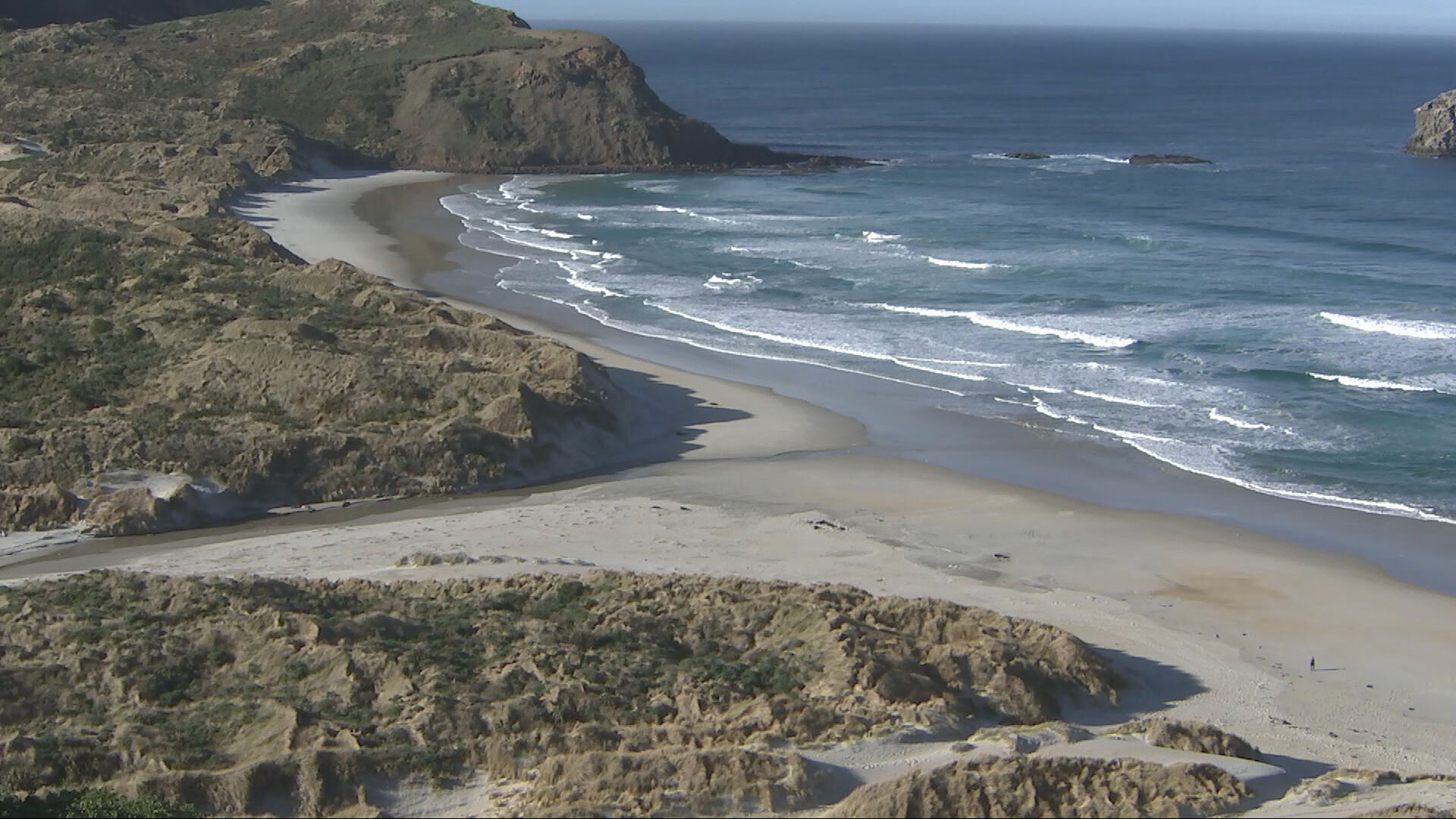
Ngai Tahu and the Department of Conservation have launched a major new marine reserve network along the southeast coast of the South Island, with five reserves due to come into force on 1 July. The network will protect more than 300 square kilometres of coastal marine area, with fishing, harvesting and mineral extraction prohibited inside the reserves once they begin.
The network is named Te Au Roa o Te Rakihouia. DOC's official material says five marine reserves were gazetted on 28 May 2026 and will come into effect on 1 July 2026, following a long process that included forum work, recommendations, consultation and ministerial decisions. The protected areas form part of a southeast South Island marine protection effort extending through the Otago coastal region and linked in public reporting to South Canterbury and the wider lower South Island coastline.
For Canterbury readers, the story matters even though the strongest image and much of the launch coverage focuses south of Christchurch. South Canterbury sits inside the wider southeast coast conversation, and many Christchurch residents travel, fish, dive, holiday, study and work across the coastal corridor between Timaru, Otago and Southland. Marine protection decisions in that corridor affect recreation, tourism, iwi relationships, conservation and the future of coastal economies.
The reserves are no-take areas. That is the practical detail residents need to understand. Once the rules begin, the protected zones are not simply scenic labels on a map. They change what people can remove from the water and seabed. For conservation groups and marine scientists, that gives ecosystems room to recover and allows species and habitats to be monitored without the same pressure from extraction. For fishers and some local users, it also creates boundaries that need to be understood before boats go out.
The name is also significant. DOC's earlier media release said Te Au Roa o Te Rakihouia reflects ancient voyaging traditions and associations, acknowledging Ngai Tahu connections to the coastal landscape of southeast Te Waipounamu. That framing moves the reserves beyond a technical environmental designation. They are part of a relationship between people, place, species and memory.
DOC operations manager Gabe Davies said the effort had taken more than a decade, from a forum process in 2014 to recommendations in 2018, public consultation and the current launch point. That timeline is important because marine protection often moves slowly. It involves ecological evidence, customary interests, commercial interests, recreational use, legal challenge and political timing. A reserve network arriving in 2026 is the result of many earlier arguments and decisions.
The travel and visitor economy angle should not be overlooked. Protected marine environments can become education and eco-tourism assets when managed well. They can support interpretation, coastal walking, wildlife viewing, diving, school trips and science communication. But they also require clear signage, maps, enforcement and public education so visitors understand where the boundaries are and why the restrictions exist.
For The Garden City Gazette readers, the main point is that the South Island's coastal future is being actively redrawn. Canterbury cannot treat marine reserves as distant environmental paperwork. Christchurch is a gateway city for South Island travel, science and conservation, and many residents have personal ties to the coast south of the city. From 1 July, Te Au Roa o Te Rakihouia will make that coastline more protected, more regulated and more visible in national conservation debate.