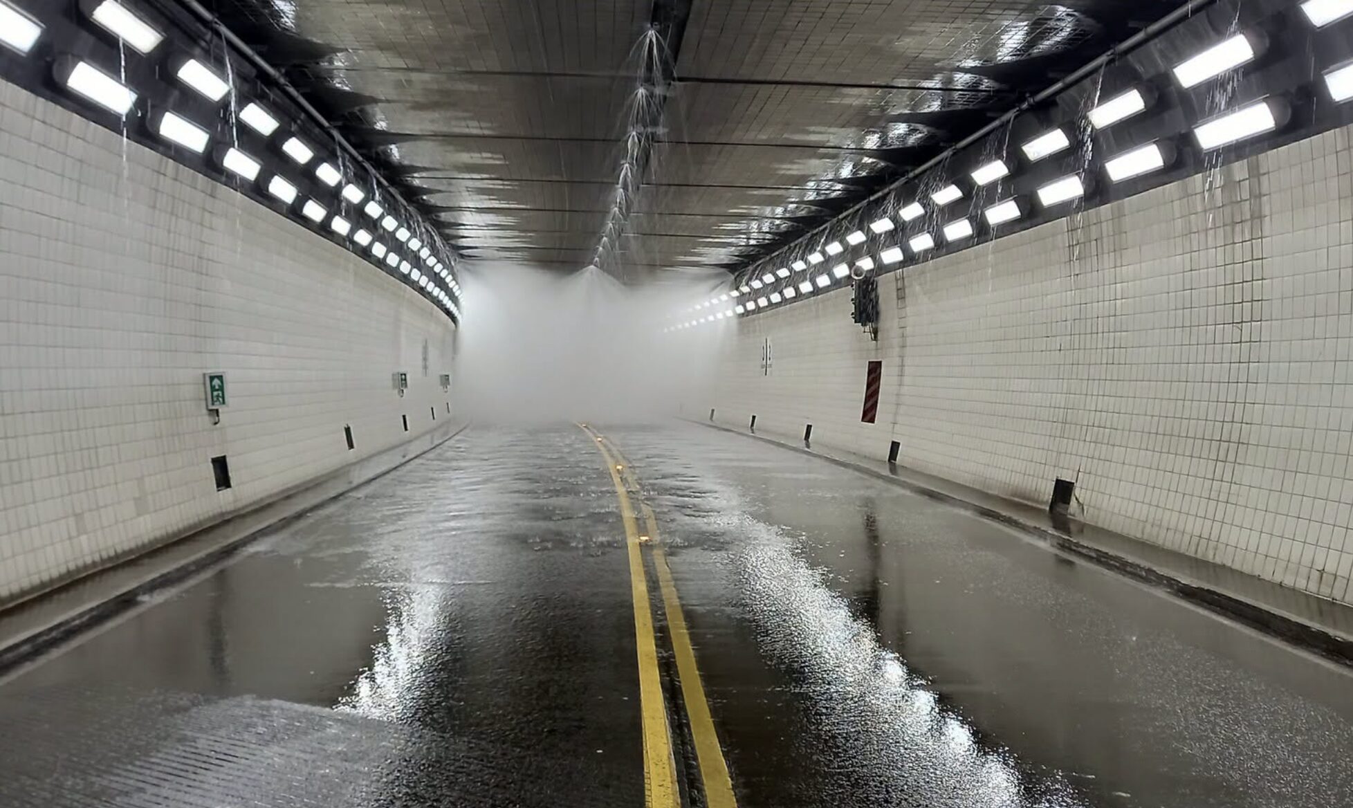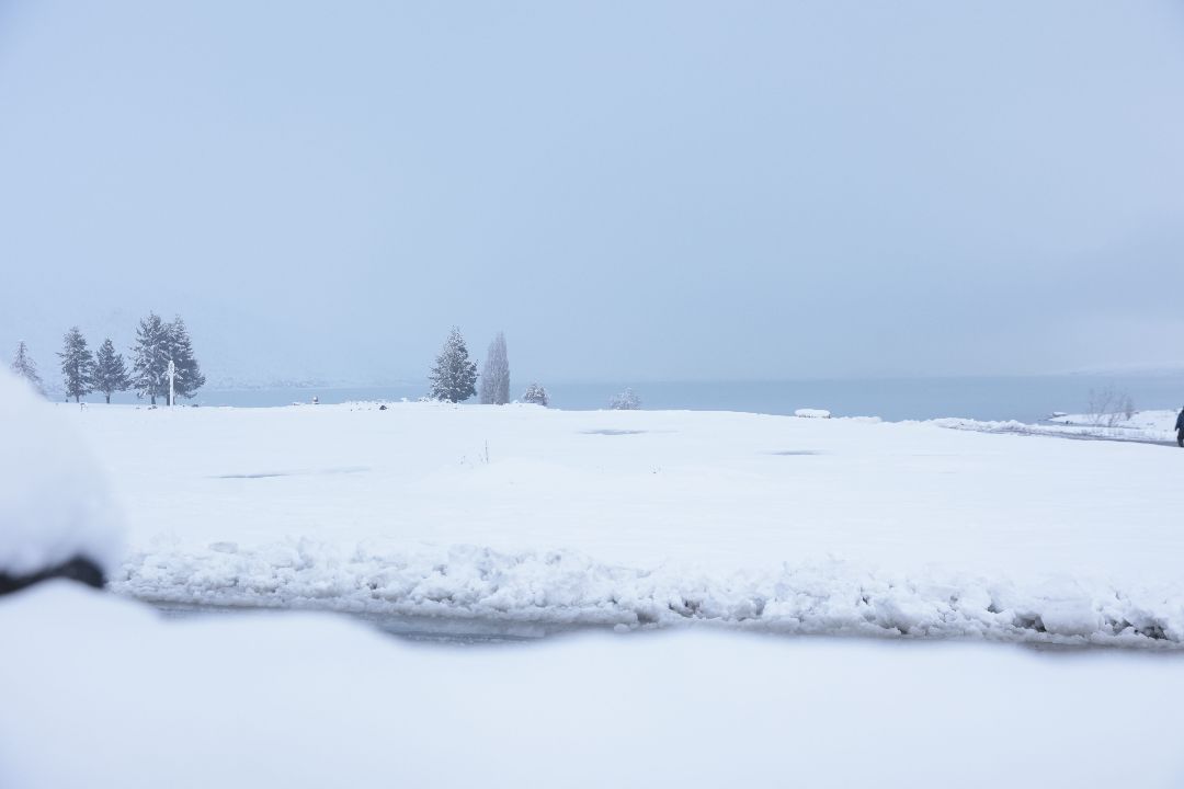
South Island travellers had a shifting road picture on Monday as snow and flooding closed routes through Otago, South Canterbury and the Mackenzie Basin before crews reopened most affected highways later in the day.
NZ Transport Agency Waka Kotahi said at 4pm that just one weather-related state highway closure remained after a busy day across the central and lower South Island. Earlier, the agency had reported that State Highway 8 between Fairlie and Lake Tekapo, including Burkes Pass, had reopened after snow was cleared, while the Lake Tekapo to Lake Pukaki section was still closed for a period before a later reopening.
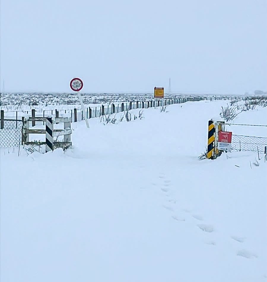
The morning disruption was significant. NZTA's 7.30am update said state highways across Otago and South Canterbury were closed because of snow or flooding. The snow and ice closures included SH8 from Fairlie to Lake Pukaki in the Mackenzie Basin and SH8 from Omarama to Tarras, including Lindis Pass. The agency said Lake Tekapo and Mount Cook Village had recorded about 25 centimetres of snow over the previous 12 hours.
Reporting also referenced snow in the Mackenzie Basin and said heavy rain, snow and flooding had battered parts of the South Island overnight. The local significance for Canterbury is that the Mackenzie Basin is both a resident community and a holiday route. When SH8 is disrupted, the effects reach school holiday travel, freight, visitor itineraries and local services.
The improving afternoon picture does not remove the winter driving risk. NZTA urged road users to continue taking extra care on reopened roads because winter conditions were expected to persist. That warning should be read literally. A road can be open and still be difficult, especially where shaded sections, bridge decks, slush, fog, surface water or wind exposure remain.
The agency's advice was practical: carry warm clothes, water and food in case a journey stalls, and make sure there is enough petrol or battery range for detours. It also reminded drivers in heavy rain to adjust speed and following distance, avoid sudden braking, use headlights in daytime and stay out of floodwater where the depth or road surface is uncertain.
By late afternoon, the remaining closure identified by NZTA was SH1 north of Oamaru in North Otago because of significant flooding, with a detour available via Seven Mile Road and SH83. Other routes had reopened after snow or flood closures, including SH83 and sections of SH85 and SH87.
For Christchurch and Canterbury travellers, the lesson from Monday is that alpine and inland road decisions can change several times in a single day. Anyone heading through Fairlie, Tekapo, Pukaki, Lindis Pass or adjoining South Island routes should check the Journey Planner close to departure, then check again before entering exposed highway sections.
The article should not imply every Canterbury road is closed or safe. The verified position is more precise: closures were widespread in the morning, several Mackenzie Basin routes reopened after clearance, and the remaining risks are winter conditions, flooding in nearby regions and fast-changing official restrictions.